

Sehenswürdigkeiten in Princetown
26 Ziele an einem Ort.
Sehenswürdigkeiten in Princetown
26 · Seite 1 von 2


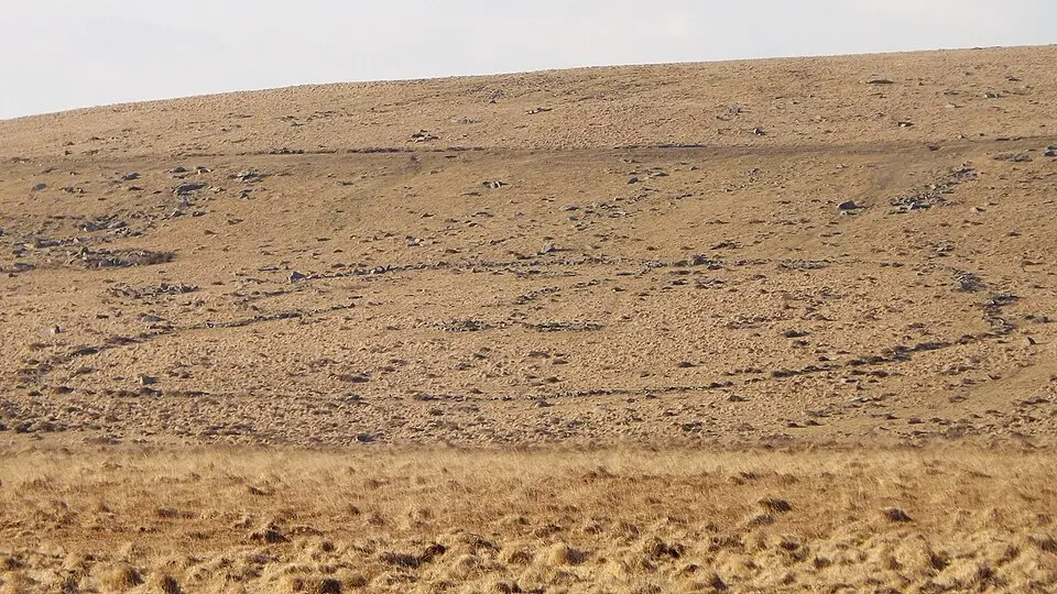
- Megalithanlagen am Down Tor
- Stone alignment on Conies Down
- Platform cairn 60m north of Raddick Hill summit
- Twelve cairns, a lynchet and a boundary bank forming part of a cairnfield 440m south-west of Raddick Hill summit
- Two round cairns 140m south-west of Raddick Hill summit
- Two cairns and a boundary bank forming part of a cairnfield 440m south-west of Raddick Hill summit
- Large stone hut circle settlement, an irregular aggregate field system, post-medieval farmstead and associated remains east of R
- A 350m length of reave on Hingston Hill, 470m NNW of Combshead Tor
- Two enclosures and a cairnfield 180m north east of Crazy Well Pool
- Unenclosed stone hut circle settlement on Walkhampton Common, 1000m north east of Leeden Tor
- An agglomerate enclosure and seven stone hut circles 460m WSW of Raddick Hill summit
- Three round cairns 610m south west of Black Tor
- Enclosed settlement 380m south west of Raddick Hill summit
- Enclosed settlement 400m west of Raddick Hill summit
- Nine huts, five post-medieval shelters and a field boundary forming part of an unenclosed stone hut circle settlement 1180m sout
- Thirty-six stone hut circles and an irregular aggregate field system forming part of an unenclosed stone hut circle settlement 4
- Two stone hut circles situated on the southern edge of an unenclosed stone hut circle settlement 1180m south of North Hessary To
- Ring cairn 220m SSE of Devil's Bridge
- Two stone hut circles, a length of boundary bank and a short length of the Devonport Leat 380m WNW of Raddick Hill summit
- Two lengths of reave, two stone hut circles, a round cairn and stone alignment on Walkhampton Common
- An enclosed stone hut circle settlement 400m south-west of Devil's Bridge
← Alle Sehenswürdigkeiten in Dartmoor Forest
Daten und Bilder aus offenen Quellen: Wikidata (CC0), OpenStreetMap (ODbL), Wikimedia Commons. Alle Quellen und Lizenzen →