Sights in Dover

43 sights in one place.
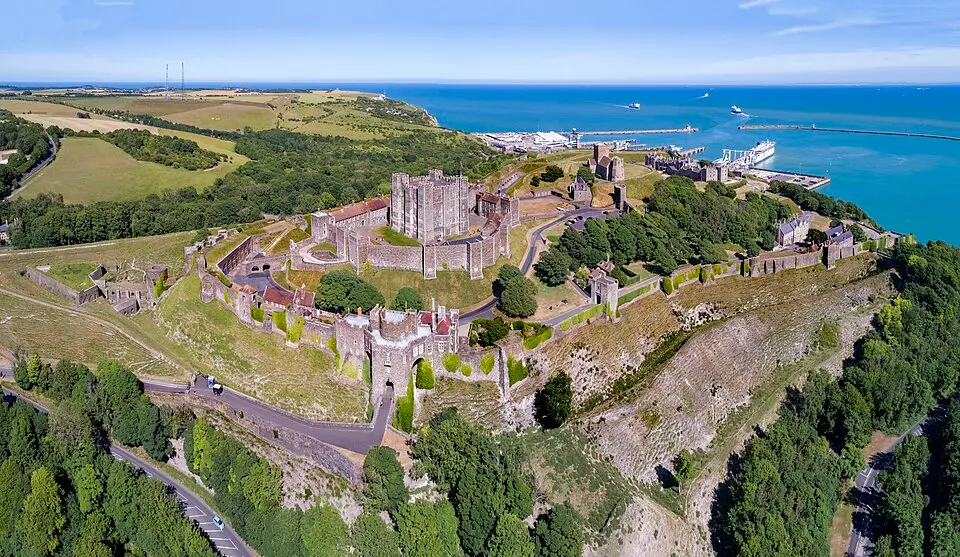
Dover Castle
Chensiyuan CC BY-SA 4.0

Sights in Dover

42 · Page 1 of 2
White Cliffs of Dover
Dover Castle
Dover Bronze Age Boat
St Mary sub Castro, Dover
St Mary's Church, Dover
St Edmund's Chapel
Dover Museum and Bronze Age Boat Gallery
Dover Western Heights
Archcliffe Fort
Peverell's Tower
Crabble Corn Mill

On the map

Dover lies in south-east England on the Strait of Dover, the narrowest part of the English Channel, making it England’s most important port city. The striking white cliffs shape the landscape and are visible even from a great distance. The city belongs to the county of Kent and is close to the French coast, where the opposite Cap Gris-Nez is only about 34 kilometres away.

Trade links across the Channel existed here as early as the Bronze Age, as finds of Bronze Age boats and tools show. The Romans used the site as a port and military base, building lighthouses and a major road that extended deep into the interior. Later, Dover became the centre of the Anglo-Saxon Cinque Ports alliance and experienced attacks and conquests, including those by William the Conqueror or French troops.

Today Dover is best known for its castle, which stands on Roman and medieval foundations and draws visitors with its Norman keep. The town hall from the 13th century and the preserved church of St Mary the Virgin bear witness to its long history. The city remains an important transport hub between England and Europe.

Sources (1)

Facts & figures

Population
31,022

Also nearby