Flirsch lies in the Stanzer Valley, nestled between Landeck and the Arlberg, and is traversed by the Rosanna river. The municipality belongs to the Landeck district in Tyrol and extends on both sides of the river. With around one thousand inhabitants, it is one of the smaller settlements in the region.
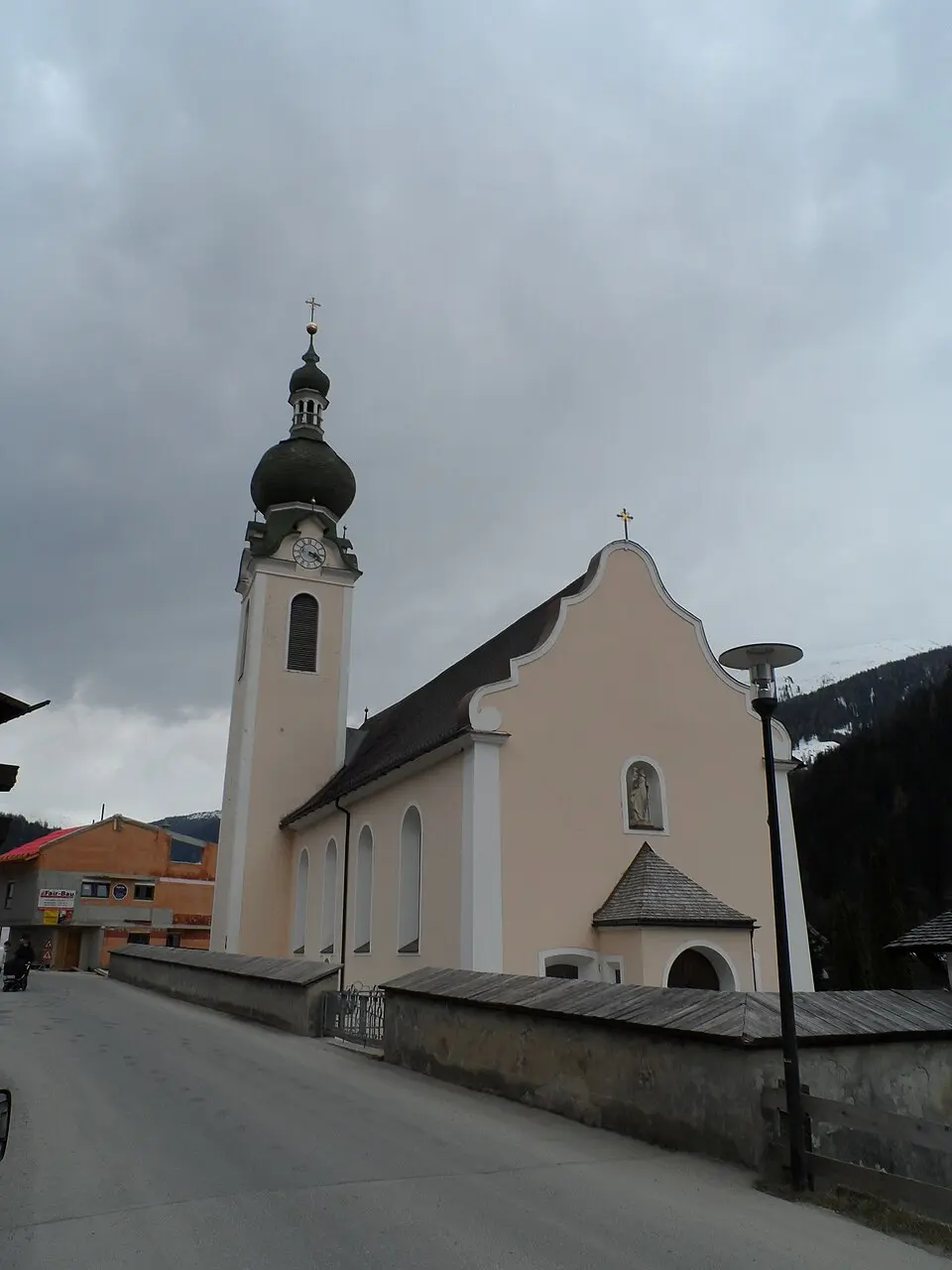
Traces of settlement go back a long way, but Flirsch is first mentioned in writing in the fourteenth century. At that time the area was still shaped by the Rhaeto-Romance language, as present-day field and house names show. The name itself may derive from a spring flower, which is also reflected in the coat of arms with six golden crocuses on a blue background. The church in the village, dedicated to Saint Bartholomew, was mostly built in the eighteenth century, though older elements have been preserved.
Today the municipality is known above all for its picturesque surroundings and winter tourism. Several chapels and a historic wooden bridge shape the village’s appearance. Figures such as the ski racers Mario and Michael Matt come from here, as does the freestyle skier Andreas Matt. The former Draxl family wool factory once brought prosperity; today its villa serves as the town hall.